Belford Burn catchment
Location: United Kingdom, Belfort, Northumberland
GPS coordinates: 55.5986067185, -1.83175794041
Parameters
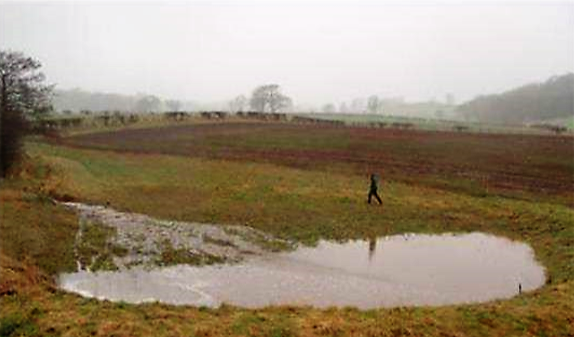
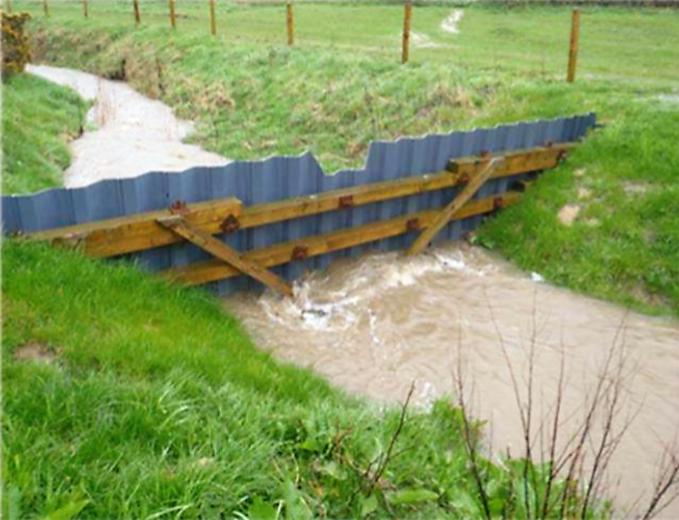
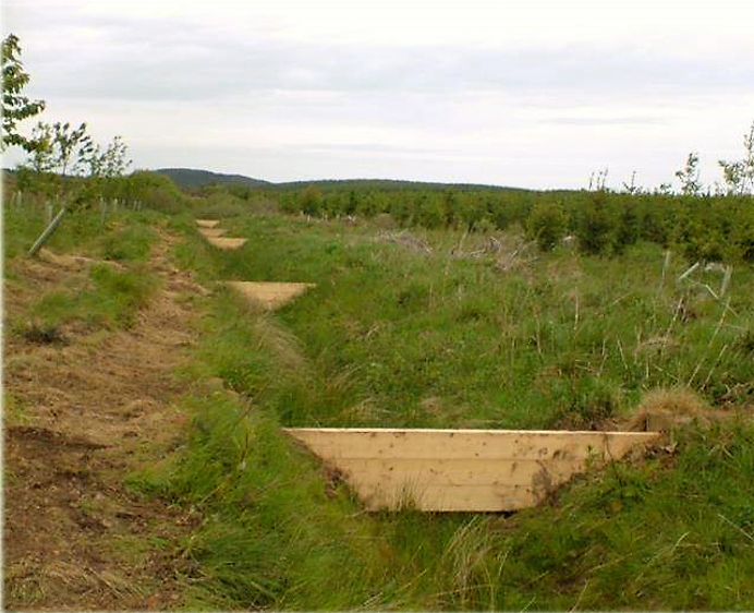
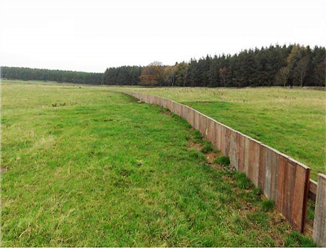
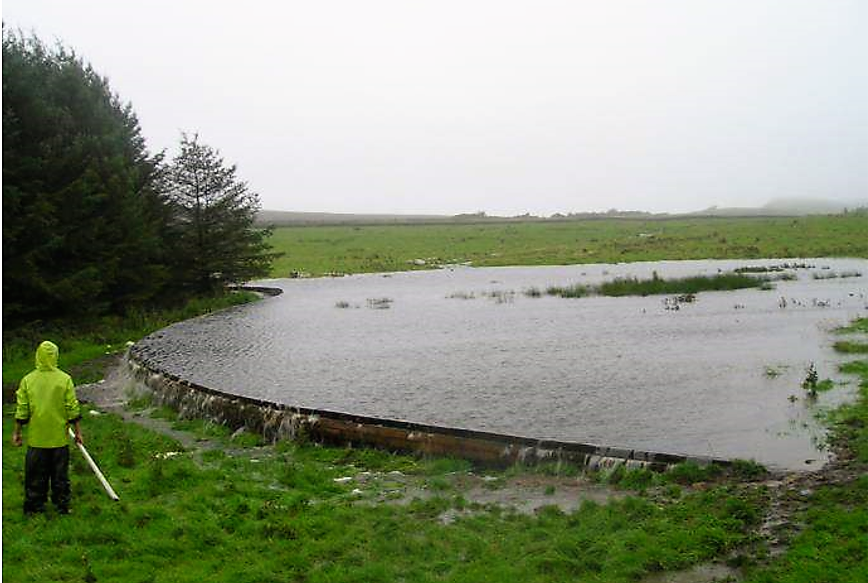
Measures to attenuate runoff were installed in the small Belford catchment, in northeast England, in order to reduce the risk of flooding to the village downstream. The installations involved a network of small measures to capture and delay runoff from the rural catchment, including detention basins and overland flow features, as well as sediment capture measures to improve water quality.
Prior to implementation
Following a number of recent severe flood events across the North East of England, the Environment Agency (EA) have been working with Newcastle University (NU) to develop a number of small scale, low cost soft engineered flood reduction schemes. These schemes are designed to store/attenuate rapid runoff in small rural catchments (<10km2) during flood events.
After implementation
Together Newcastle and Royal Haskoning have assessed the impact of the Belford approach to managing flood hazard in small rapidly responding catchments. It has been demonstrated that reductions in peak flows can be achieved through storage/attenuation management. For a hypothetical pond network providing 19,250 m3 of storage, the peak flow reduction is estimated to be between 15-30% .
Pictures from the location: